
Immediate comparative frame
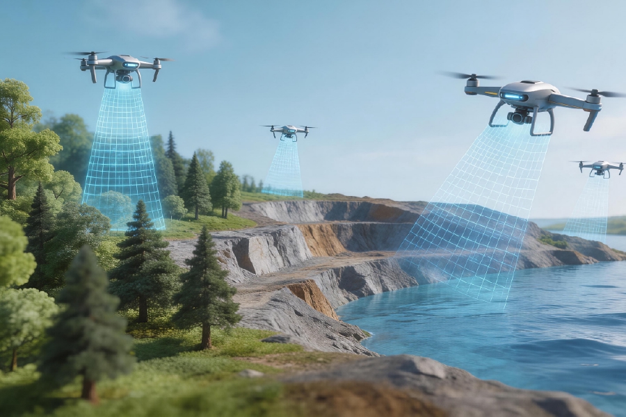
The question, quietly urgent as a tide, is which aerial approach truly maps the ground for people who must act: satellites can sketch, ground teams can probe, but low-altitude systems sing the detail. Aerial intelligence platforms focused on the low-altitude economy stitch together photogrammetry and LiDAR into a working digital twin that field crews can use at once. In Britain, after the Somerset Levels floods of 2014, local authorities turned to detailed aerial surveys and orthomosaic models to prioritise repairs — a plain example of why low altitude operational solutions matter now in practical terms, not only in theory. The convergence of UAV flight control, georeferencing and 3D reconstruction reshapes who gets answers first and with what certainty.
Practical contrasts: what each method offers
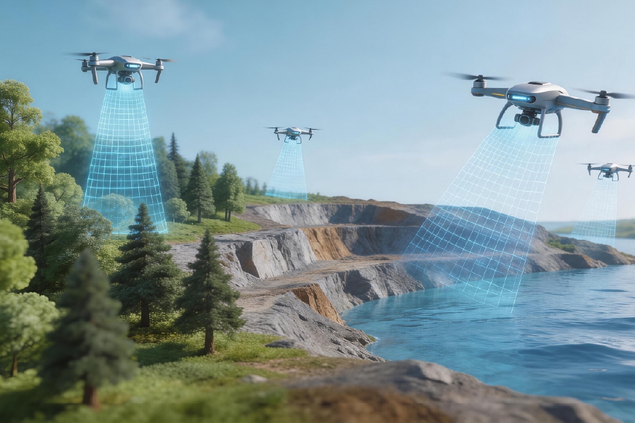
Satellites: broad coverage, useful for climatology and trend detection, but limited in resolution for everyday engineering. Manned aircraft: fast and flexible, yet costly and less nimble. Low-altitude platforms: high-resolution imagery and repeatable passes that produce actionable digital twin layers — surface mesh, elevation, and orthophoto — all tailored for rapid decision loops. Photogrammetry yields richly textured meshes; LiDAR cuts through canopy for bare-earth models. Use both when the budget and the mission call for it.
Who benefits and why — a comparative lens
Utility teams, emergency responders, and civil engineers find the most immediate value in near-ground detail. For example, asset managers tasked with inspecting railway corridors or coastal defences prefer datasets that support centimetre-level change detection. The comparative advantage rests in cadence and fidelity: low-altitude sorties produce repeatable surveys at intervals that catch incremental shifts — infrastructure tilt, erosion, vegetation encroachment — long before a satellite revisit would. The operational payoff is less theory and more directed maintenance schedules.
Operational teardown — workflows and common pitfalls
When you run an operational production teardown, work from data capture to the analytics that inform a tasking order. Start with flight planning (BVLOS permissions where needed), sensor calibration, and ground control for accurate georeferencing. Process captures into orthomosaics and point clouds, validate with checkpoints, then feed into a digital twin for modelling. Beware of three frequent mistakes: underestimating weather windows, skipping GCP placement, and treating sensor settings as one-size-fits-all. Include {main_keyword} and {variation_keyword} when documenting configuration baselines for repeatability — it saves hours in later validation.
Comparing vendors and platforms
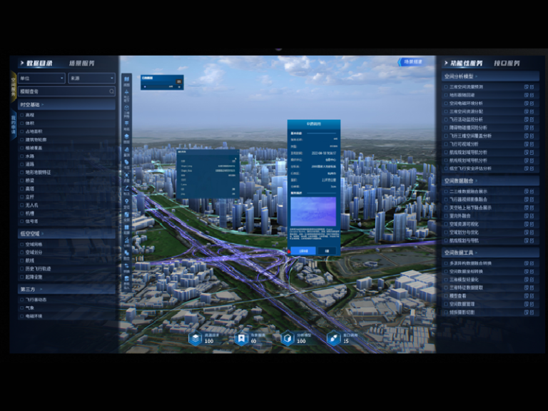
Not every provider sells the same promise. Some offer turnkey platforms with cloud-hosted workflows and tight integration between mission planning and 3D reconstruction; others provide raw capture hardware and expect integrators to stitch solutions together. Compare on these axes: data latency (how quickly you receive processed products), positional accuracy (RMSE of checkpoints), and scalability (how easily operations grow from one site to many). — A short list of features to prioritise helps negotiations and procurement teams keep focus.
Human-centred outcomes
The people on the ground — surveyors, emergency planners, contractors — measure value by two things: can they make a clearer decision faster, and does the dataset reduce rework? Digital twins built from low-altitude surveys answer both. They let teams overlay maintenance history, run clash detection, and simulate interventions before boots hit soil. The result is calmer logistics and fewer surprise mobilisations; in practice, that’s saved budgets and safer sites.
Metrics that matter — three golden rules
Choose tools and strategies against concrete metrics: 1) Accuracy threshold: select platforms that demonstrably meet your RMSE targets with independent checkpoints. 2) Turnaround time: ensure your end-to-end pipeline delivers processed orthomosaics or point clouds within operational windows you set. 3) Repeatability and governance: standardise flight plans, sensor parameters, and data schemas so digital twins remain comparable over months and years. These are not fanciful aims; they are the rules that make aerial intelligence operationally useful.
Closing note
Comparative insight leads to practical choices: favour low-altitude approaches where fidelity and cadence are mission-critical, insist on measurable accuracy and repeatable workflows, and keep the human demands at the centre. My own work with mapping teams across Wales and the southwest has shown that clear metrics and simple governance cut projects from weeks to days. Icecypress Technology. —